1009 rue Notre-Dame, Saint-Rémi, QCJ0L 2L0Get directions
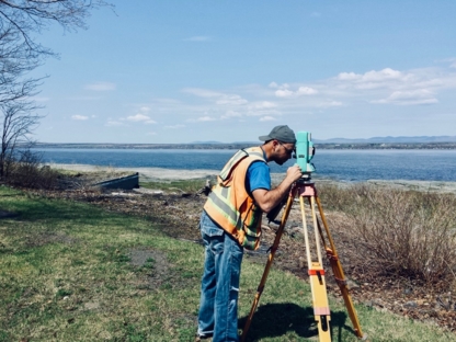
Certificate Of Location, Digital Terrain Modelling (DTM), Staking, Boundary Marking, Cadastral Plan, Land Surveyors, Cadastral Operation, Site Plan, Technical Description, Boma, Structure, Pile And Axis Layout, Topographic Survey, Cadastral Survey, Lot Grading Plan, Site Plans, Layout, Subdivision Plans, Housing Development
By working with Denicourt Land Surveyors, enjoy a personalized service and the guarantee of a job well done. Fuelled by our many years of experience, we prepare official documents ...more...See more text
1009 Rue Notre-Dame Gd, Saint-Rémi, QCJ0L 2L0Get directions
Land Surveyors, Certificate Of Location, Staking, Boundary Marking, Site Plan, Cadastral Operation, Technical Description, Cadastral Plan, Cadastral Survey, Topographic Survey, Subdivision Plans, Housing Development, Site Plans, Layout, Structure , Pile And Axis Layout, Boma, Lot Grading Plan, Digital Terrain Modelling (DTM)
By working with Denicourt Land Surveyors, enjoy a personalized service and the guarantee of a job well done. Fuelled by our many years of experience, we prepare official documents ...more...See more text
Merci à toute l'équipe de Louise Rivard, arpenteure-géomètre, pour sa fiabilité et son travail exceptionnel. Je n'hésiterai pas à recommander à toute personne de faire appel à leur compétence.Read more
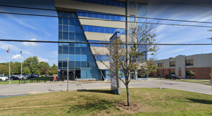
575 Avenue Marshall, bureau 101, Dorval, QCH9P 1E1Get directions
Siting, Description By Metes And Bounds, Certificate Of Location, Survey Marker, Cadastral Operation, LiDAR, Staking, Boundary Procedure, GPS-Based Survey, Volume Measurement, Condominium Plan (condo)), Property Plan (Topographical), Residential And Commercial Development, Expert Witness
Une firme d'arpenteurs-géomètres mettant ses connaissances du secteur à votre service depuis plus de 30 ans.
A land surveyor firm with in-depth knowledge of the sector at your ser...more...See more text
Rely on us to prepare a property boundary survey or a certificate of location in order to facilitate the transfer of a property and/or provide valuable information with respect to ...more...See more text
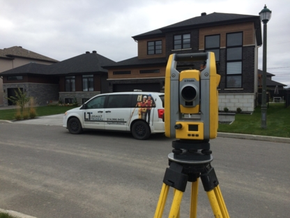
Cadastral Mapping, Certificate Of Location, Mortgage Survey, Construction Surveyor, Lot Grading Plan, Staking, Real Estate Project Management, Geomatics, Land Survey, Commercial Survey, Construction Surveying Service, Property Delimitation, Implantation, Demarcation, Cadastral Operation, Plan And Expert Report, Condominium Project, Measurement Of Rental Space, Land Survey Operation
Société avant-gardiste d'arpenteurs-géomètres, nous nous démarquons par nos solutions d'affaires adaptées aux besoins spécifiques de notre clientèle et de nos partenaires. Que ce s...more...See more text
Denis Lemieux, arpenteur-géomètre est détenteur d'un baccalauréat en arpentage (Géodésie) et a également fait des études de maître en législation foncière. Il est membre de l'ordre...more...See more text
430 Rue Chicoine, Vaudreuil-Dorion, QCJ7V 7E4Get directions
ARPENTEURS-GÉOMÈTRES
Société avant-gardiste d'arpenteurs-géomètres, nous nous démarquons par nos solutions d'affaires adaptées aux besoins spécifiques de notre clientèle et de nos partenaires. Que ce s...more...See more text
149 Rue Jacques-Cartier Nord, Saint-Jean-sur-Richelieu, QCJ3B 6S7Get directions
Arpentage Hypothécaire, Subdivision D'espace Aérien, Subdivision Cadastrale, Arpentage Commercial, Arpentage Topographique, Levé Cadastral, Topographie, Arpentage De Construction, Plan De Cadastre, Lotissement, Cartographie
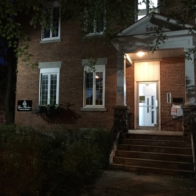
Basé à Saint-Jean-sur-Richelieu, Yves Madore Arpenteur-Géomètre offre des services de cartographie, de topographie et de subdivision d'espace aérien. Il offre également des service...more...See more text
Land Surveyors, Site Plans, Layout, Boma, Boundary Marking, Structure , Pile And Axis Layout, Staking, Topographic Survey, Subdivision Plans, Housing Development, Certificate Of Location, Technical Description, Cadastral Survey, Lot Grading Plan, Cadastral Plan, Cadastral Operation, Digital Terrain Modelling (DTM), Site Plan
By working with Denicourt Land Surveyors, enjoy a personalized service and the guarantee of a job well done. Fuelled by our many years of experience, we prepare official documents ...more...See more text
Digital Terrain Modelling (DTM), Site Plan, Boma, Certificate Of Location, Cadastral Survey, Lot Grading Plan, Boundary Marking, Structure , Pile And Axis Layout, Cadastral Plan, Staking, Subdivision Plans, Housing Development, Land Surveyors, Site Plans, Layout, Technical Description, Cadastral Operation, Topographic Survey
By working with Denicourt Land Surveyors, enjoy a personalized service and the guarantee of a job well done. Fuelled by our many years of experience, we prepare official documents ...more...See more text